Gallery » Danzig Report 79 - April, May, June 1993 » Danzig Harbor Map from 1520
[« Previous]
[Next »]
Danzig Harbor Map from 1520
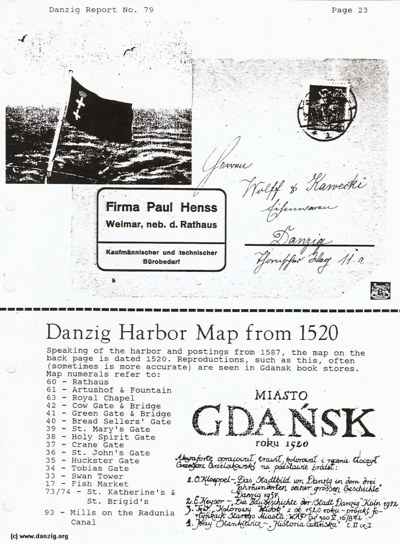
Speaking of the harbor and postings from 1587, the map on the back page is dated 1520. Reproductions, such as this, often (sometimes is more accurate) are seen in Gdansk book stores.
Map numerals refer to:
60 - Rathaus
61 - Artushof & Fountain
63 - Royal Chapel
42 - Cow Gate & Bridge
41 - Green Gate & Bridge
40 - Bread Sellers’ Gate
39 - St. Mary’s Gate
38 - Holy Spirit Gate
37 - Crane Gate
36 - St. John’s Gate
35 - Huckster Gate
34 - Tobias Gate
33 — Swan Tower
17 - Fish Market
73/74 - St. Katherine’s &
St. Brigid’s
93 - Mills on the Radunia Canal
Danzig Report Vol. 1 - Nr. 79 - April - May - June - 1993, Page 28.
Hits: 1511
Added: 04/07/2015
Copyright: 2024 Danzig.org
[« Previous]
[Next »]